JOIN annotated river notes (for course attendees only)
Price range: $35.00 through $55.00
Annotated river notes developed from over 10 years of guiding these sections
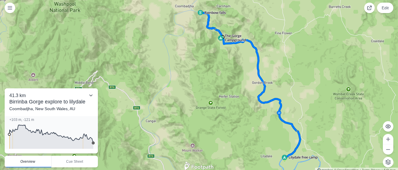
A good supplement to the Clarence River Canoe & Kayak Trail maps, with more detail on each prominent rapid and how it evolves at low and high water
Description
Annotated river notes in a pdf
Recommended to be printed and laminated and carried on the river with you
Developed from over 10 years of guiding these sections, please do not reproduce without my permission.
SAMPLE:
| Rapid Name | Length | Eddy above | Eddy below | Grade | Info | High Water Specifics | Low water | Camping/ Emergency access |
| Rocky River | M | RR | RL | 1 | 3 channels slow moving water between obstacles | Need to assess tree hazards at higher levels | RL is best option at low levels |
| Long flat pool | |||||||
| Rollercoaster | L | RL | RR | 2/3 | Rocky lead in with fun drop into fast moving big waves, start RL and then nose over to RR at drop | Option to portage down RL channel and paddle last 5ms if needed, can get a lot of water pushing into trees on RL at high water | A fun one with a few more rocks to dodge in the lead in and on the lower third |
| Barb-be-que | M | RR | RR | 2 | 3 channels between rocks to choose from, often all nice, good for choose your own adventure | Leave space between boats and cover bottom third, can be prone to friendly carnage | FENCE OFTEN PUT ACROSS RL AT BOTTOM DURING LOWER RIVER LEVELS, MUST CHECK AND COVER |
Please note these are to be used as a supportive guide only, and should be accompanied by appropriate skills and training, and equal parts sensing, assessing conditions and participant abilities, and a reminder that rivers are always changing.
Related products
-

Our Wellness Compass
$95.00 Add to cart -

JOIN “Go with the Flow” Tshirt
$50.00 Select options This product has multiple variants. The options may be chosen on the product page